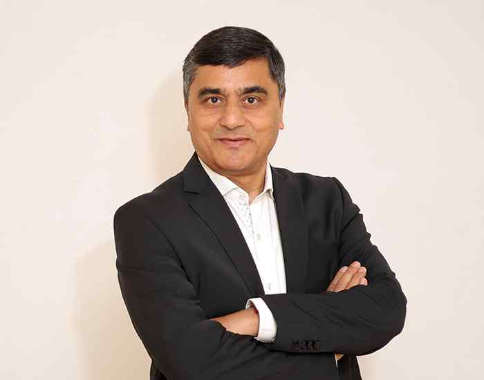
भारत लोहरी
PhD (ESSC, University of Reading, UK)
Professor, Department of Civil Engineering
शोध करना दिलचस्पी
My research involves use of high resolution remotely sensed data, especially LiDAR data, for 3D modelling, visualization and various other applications.I am also using GIS for innovative applications.
I am working in the following specific areas: 3D Laser imaging and LCS measurement, Methodology development for motion correction and error analysis in laser scanning, Propagation modelling using high resolution LiDAR data (flood, sound, GPS signal), Mapping of buildings, specifically urban and those of historical significance, using terrestrial laser, Laser scanning of complex structures, Development of LiDAR simulator-airborne and spaceborne, GIS for optimized land consolidation in agriculture, Landmark based advanced navigation under GIS environment.
Office
Room: 113 ,
Western Laboratory Extension
(WLE-113)
विशेषज्ञता
Geoinformatics
शिक्षा
PhD, ESSC, University of Reading, UK, 1999
M.E., IIT, Roorkee, 1990
B.E., M.M.M. Engineering College Gorakhpur, 1988
शिक्षण क्षेत्र
Precision Remote Sensing
Geoinformatics
Survey and Geology camp
Introduction to Remote Sensing
Instrumentation
Laboratory and field practices in Geoinformatics
Machine Processing of Remotely Sensed Data
व्यावसायिक जुड़ाव
Institution of Surveyors, India
Indian Society for Remote Sensing, India
Institution of Engineers, India
चयनित प्रकाशन
Goel Salil and Lohani Bharat (2014), A Motion Correction Technique for Laser Scanning of Moving Objects, IEEE Geoscience and Remote Sensing Letters, Vol:11, PP:225-228
Ghosh S and Lohani B (2013), Mining LiDAR data with spatial clustering algorithms, International Journal of Remote Sensing, Vol 34-14, PP: 5119-5135.
Dashora A, Lohani B (2013), Turning mechanisms for airborne LiDAR and photographic data acquisition, Journal of Applied Remote Sensing, Vol: 7(1), 073488.
Dashora A, Lohani B and Deb K ( 2013), Two-Step Procedure of Optimization for Flight Planning Problem for Airborne LiDAR Data Acquisition, International Journal of Mathematical Modelling and Numerical Optimisation (Accepted).
Yadav M, Goel S, Singh A K, and Lohani B (2013), Mobile mapping system using laser scanner, GPS and IMU, ISRS (Accepted).
पुरस्कार एवं फैलोशिप
ISRS National Award for Geospatial Excellence 2012, Presented on 4th December 2013 during ISG-ISRS Annual Symposium at Vishakhapatnam
Best paper award at INCA Congress 2012, Dehradun for paper "Flash LiDAR based surveillance system".
Best ISBA Start up in ICT category in 2011 for Geokno India Pvt Ltd, being incubated at IIT Kanpur and founded and mentored by me.
Silver award for Limulator2.0 for standing second in CATCON-5 during XXI ISPRS Congress, Beijing 3-11 July 2008.
Best Poster Award at ISPRS conference on Optical 3D measurement techniques, 9 – 13 July 2007, ETH Zurich, Switzerland.
अनुसंधान समूह
Aswani Kumar Munnangi, Arjun B M, Raghavendra Sara, Salil Goel
पेशेवर अनुभव
Academic: Professor (2014) (IITK), Associate Professor (2007-14) (IITK), Assistant Professor (2002-07) (IITK), Senior Lecture (1999-02) (IT-BHU), Research Officer (1999-99) (ESSC, The University of Reading), Postgraduate Student (1996-99) (ESSC, The University of Reading), Lecturer (1990-95) (IT-BHU)
Invited Lectures: Laser Scanning: Status, Experiences and Challanges in India (Map India 08: Geokosmos LiDAR Workshop, 2008), Remote Sensing and its Applications (GPG Girls College Kanpur, 2007), Research Avenues Unfolded by LiDAR Technology (MapWorld Forum 2007)
Conference / Technical Meeting Attended: ISPRS Laser scanning and Silvi Laser (Helsinki University of Technology and Finnish Geodetic Institute, 2007), ISPRS Joint Workshop on Visualisation and exploration of Geospatial data (University of Applied Sciences Stuttgart, 2007), AGIT/GI Forum (Zentrum for Geoinformatics, Salzburg, 2007), International conference on Optical 3D measurement techniques (ETH Zurich and TU Vienna, 2007)


